How Drone and Satellite Imagery Are Changing Roof Inspections
Every few years a new tool shows up in the roofing world and everybody has an opinion about it. Right now that tool is aerial imagery — drones buzzing over neighborhoods in Greensboro and High Point, and satellite photos sharp enough to pick out individual shingle tabs from space. Insurance adjusters are already using both. More roofing contractors are starting to as well. As someone who has spent a lot of time on actual roofs in this region, I think the technology is genuinely useful — but it's worth understanding what it actually does before you assume it replaces a real inspection.
What's Actually Changed
Aerial roof imagery isn't brand new — insurance companies have used satellite and aerial photography for underwriting for a while. What's changed recently is resolution and access. High-resolution satellite providers can now capture images sharp enough to spot missing shingles, worn ridge caps, and staining patterns. Consumer and commercial drones have also gotten cheap enough and easy enough to fly that a contractor can put one in the air over a house in the time it used to take to set up a ladder.
For homeowners, the practical result is this: it's becoming more common for a roofer or an insurance rep to hand you photos of your own roof — taken from thirty or a hundred feet up — before anyone ever climbs onto it. That's a real shift from the way roof inspections have traditionally worked in this part of North Carolina.
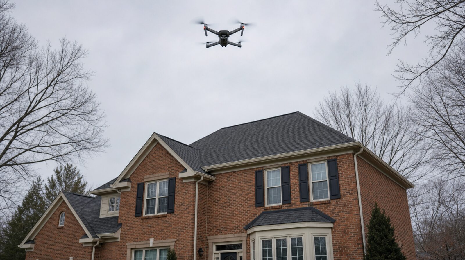
Where Aerial Imagery Genuinely Helps
- Steep or dangerous roofs. Some Piedmont Triad homes — especially older two-story houses with 10/12 or 12/12 pitches — are not safe to walk without fall protection. A drone can get useful footage of these sections without anyone taking that risk.
- Documentation for insurance claims. After a wind or hail event, having timestamped aerial photos of the whole roof plane, not just the sections a person could safely reach, gives you a more complete record to work from when you're talking to an adjuster.
- Spotting the obvious stuff fast. Missing shingles, exposed decking, visible tarps, and gross discoloration all show up clearly from the air. If you're trying to get a quick read on whether a roof needs attention at all, aerial photos can answer that in minutes.
- Large or complex properties. On a roof with a lot of valleys, dormers, and separate roof planes, an aerial pass can help a contractor plan where to focus a physical inspection instead of walking the whole thing blind.
Where It Falls Short
This is the part that matters more than the marketing usually admits. Aerial imagery is a screening tool, not a substitute for hands-on inspection, and there are specific things it simply cannot tell you.
- Soft decking. You cannot feel a spongy roof deck from a photograph. Walking a roof and feeling for give underfoot is one of the most reliable ways to catch rot before it becomes a bigger structural problem, and no image resolution replaces that.
- Flashing integrity. Step flashing around chimneys, sidewalls, and skylights often needs to be lifted or pulled back slightly to check for proper sealing and rust underneath. A camera looking down from above can't see under a shingle.
- Fastener and nail issues. Overdriven or underdriven nails, popped fasteners, and improperly sealed nail heads are frequently invisible from any aerial angle, especially on lighter-colored shingles.
- Attic-side problems. Ventilation issues, moisture staining on the underside of the decking, and insulation problems don't show up in any exterior photo, aerial or otherwise. A full inspection still means someone getting into the attic with a flashlight.
- Granule loss detail. Satellite resolution, even at its best, struggles to show the fine-grained granule loss that indicates a shingle nearing the end of its service life. That's a close-up, hands-on assessment.
- Weather and lighting limitations. Cloud cover, shadows, tree canopy, and the angle of the sun can all distort or obscure what a satellite or drone image actually shows. A photo taken at the wrong time of day can make a fine roof look suspicious, or hide real damage in shadow.
The honest way to think about aerial imagery: it's a great way to decide whether a closer look is warranted, and a poor way to make a final decision about repair or replacement.
What This Means for Piedmont Triad Homeowners
If an insurance company or a contractor sends you aerial photos of your roof after a storm, treat them as a starting point, not a verdict. A satellite image showing "no visible damage" doesn't mean your roof is fine — it means nothing showed up at that resolution, on that day, from that angle. Likewise, aerial photos flagging a problem area are useful for pointing a technician to where they should focus, but the confirmation still has to happen on the roof or in the attic.
A few practical habits worth adopting as this technology becomes more common:
- Ask what kind of inspection you're actually getting. If someone offers you a "roof inspection" based only on aerial or satellite photos, ask directly whether anyone is also getting on the roof or into the attic. There's a real difference between a remote screening and a full inspection.
- Keep your own photo record. After any significant wind or hail event, take your own ground-level photos of what you can see — gutters, downspouts, any debris in the yard, visible shingle granules collecting near downspouts. This complements whatever aerial documentation ends up in an insurance file.
- Use aerial findings as a reason to schedule a physical inspection, not a replacement for one. If a satellite report flags your roof, that's a good prompt to have someone local walk it, not a reason to sign off on repairs sight unseen.
- Remember local conditions aren't always visible from above. Humidity-driven moss growth on north-facing slopes, algae streaking, and the wear patterns typical of Piedmont Triad summers and winters are things a contractor who works this region every week will recognize on sight — context a satellite image doesn't carry.
The Bottom Line
Drone and satellite imagery are useful additions to the roofing world, and homeowners will likely see more of both in the coming years — from insurance carriers, from contractors, and from online "instant quote" tools popping up on the internet. Used well, they can make the front end of an inspection faster and safer, especially on steep or hard-to-reach roofs. But they answer the question "does something look wrong from up here?" — not "is this roof sound?" For that second question, there's still no substitute for a trained set of eyes, hands, and boots actually on the roof and in the attic. Any technology that skips that step is giving you half the picture.
Stop Guessing on Price
Get precise measurements and a detailed price range for your specific roof right now using our AI technology. No home visit required.
Get my price